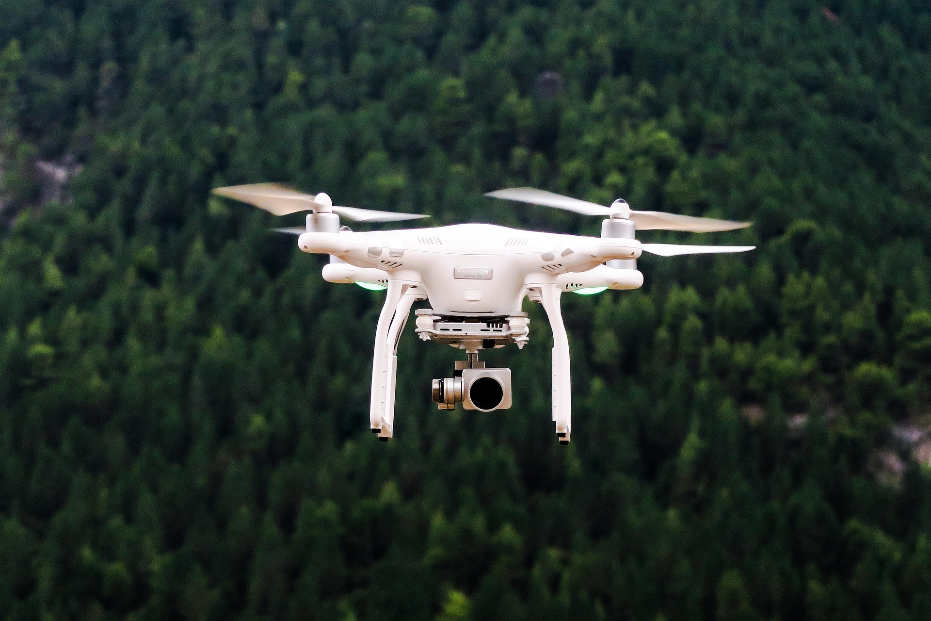
Digital Service with Drone Technology
We combine classic planning expertise with the latest technology. With our drone, equipped with LiDAR scanner and thermal imaging camera, we offer an additional added value in all project phases.
Precise Surveying & Digital Models
Thanks to high-resolution drone data, we create accurate terrain recordings and height measurements. From this, digital terrain and surface models are developed, serving as a precise foundation for planning, execution, and documentation.
Visualizations & Analyses
Based on the collected data, we generate 3D models, heat maps, and thematic maps. These enable before/after documentation and provide valuable insights, for example, how outdoor facilities or neighborhoods are currently heating up and what changes landscape planning measures can enable.
The Advantages
- Faster, more precise and cost-effective than traditional surveying methods
- Reliable inventory assessments as a basis for informed decisions
- Attractive combination of planning & data collection – all from a single source
- Intelligent Object Detection
- High-luminance camera with night functions
- High-resolution telecamera – razor-sharp details up to 250 m away
- Efficient Mapping – with precise 0.5-second interval shots
- Maximum Flight Safety – even in challenging environment
Whether for engineering firms, construction companies, or municipalities – as a full-service provider, we offer with our drone thermal imaging camera an innovative and efficient solution for the planning, consulting, implementation, and documentation of your open space planning project.